Home / DIY

Man Uses Blue Resin to Create Illuminated Map of Intricate Waterways Across the U.S.

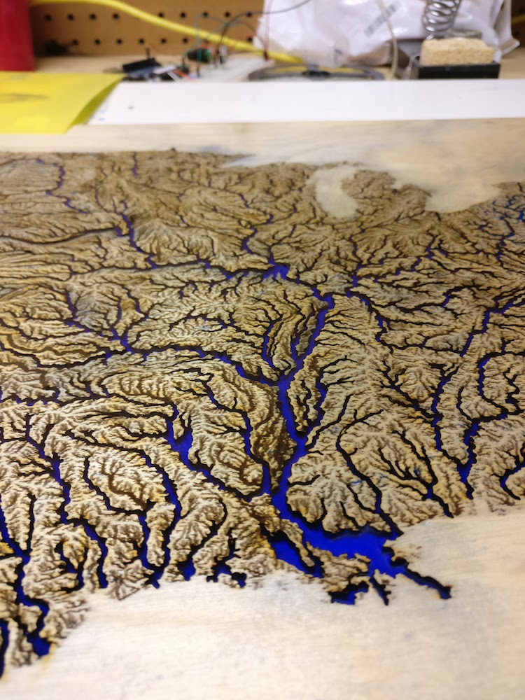
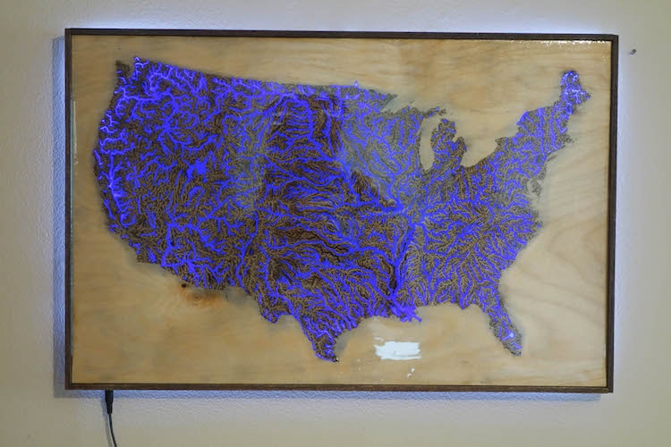
With the intricate details complete, AlexT9 mixed and covered the etchings and cuts in bright blue resin.

DIY Map

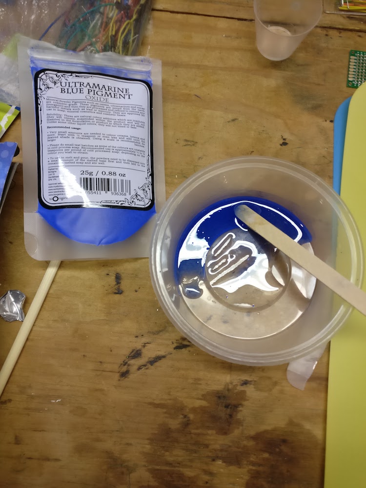
This required some experimentation…

Intracoastal Waterway Map

Intracoastal Waterway Map

Intracoastal Waterway Map

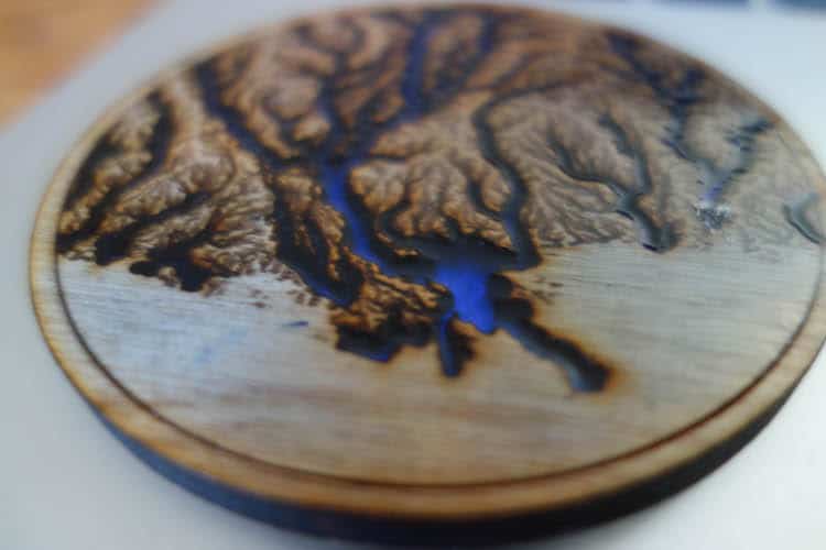
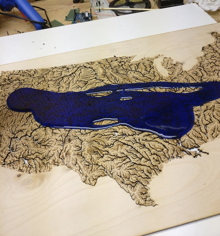
… and it took two coats to get everything cover correctly.

Intracoastal Waterway Map

Intracoastal Waterway Map

Intracoastal Waterway Map

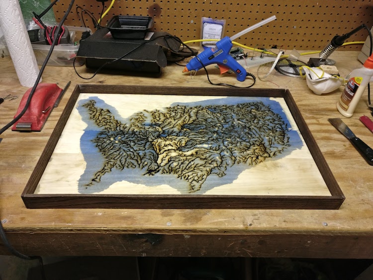
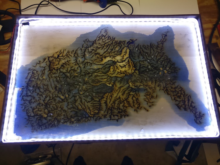
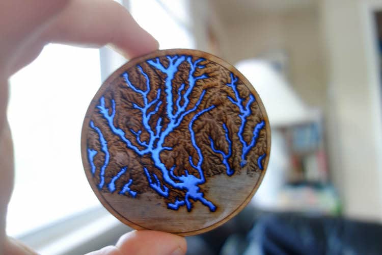
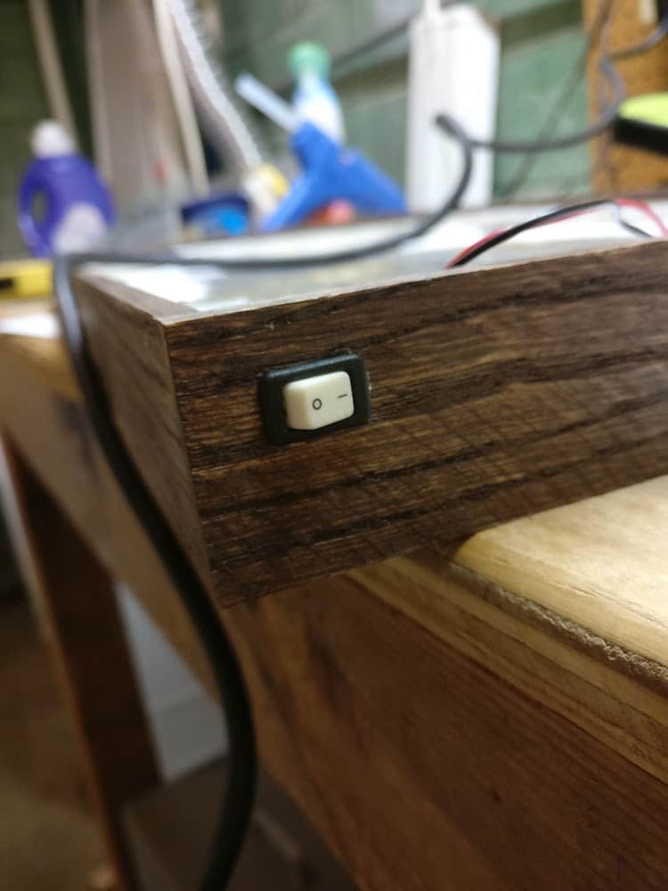
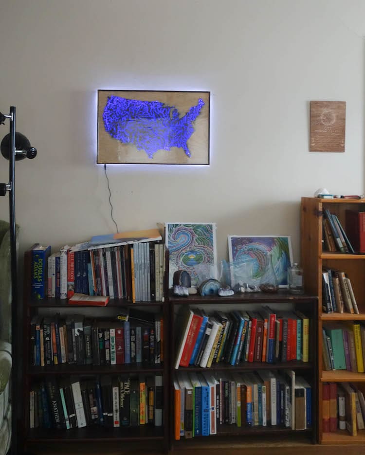
When the resin was dry, AlexT9 constructed a frame and added LED lighting.

Intracoastal Waterway Map

Resin Map DIY

Intracoastal Waterway Map

AlexT9: Instructables | Imgur
h/t: [Reddit]

All images via AlexT9.

Related Articles:

Veiny Map Represents Waterways Across America

Stunning Ink and Pencil Portraits on Maps

Intricately Carved Nature Scenes Emerge From Old Paper Maps

3D Laser Cut Wood Maps Show Hidden Underwater World

Handcrafted Porcelain “State Plates” Form 7-Foot Map of the United States

Page 2/2

Sara Barnes

Sara Barnes is a Staff Editor at My Modern Met, Manager of My Modern Met Store, and co-host of the My Modern Met Top Artist Podcast. As an illustrator and writer living in Seattle, she chronicles illustration, embroidery, and beyond through her blog Brown Paper Bag and Instagram @brwnpaperbag. She wrote a book about embroidery artist Sarah K. Benning titled 'Embroidered Life' that was published by Chronicle Books in 2019. Sara is a graduate of the Maryland Institute College of Art. She earned her BFA in Illustration in 2008 and MFA in Illustration Practice in 2013.
Become a
My Modern Met Member
As a member, you'll join us in our effort to support the arts.
Become a Member
Explore member benefits

Sponsored Content