November 12, 2017
Unique Maps Illustrate Over a Billion Acres of Forests Across the United States
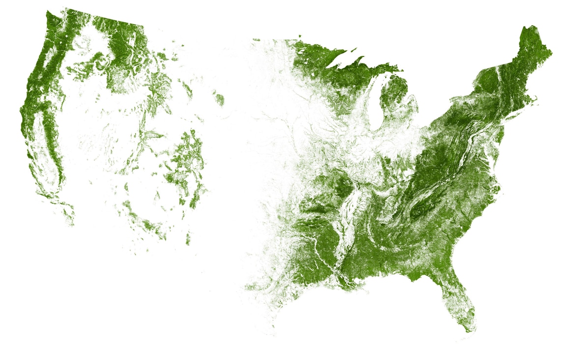
Cartography experts EarthArtAustralia specializes in creating “ultra-detailed maps of Earth from Space.” And after tackling the roads and rivers of the United States, they've just released a stunning map of the country using its forests. Over a billion acres of trees and forests, pulled together with imagery from the Landsat satellite, come together to present an interesting view of America.