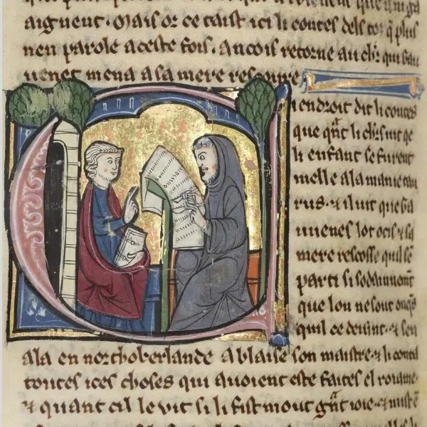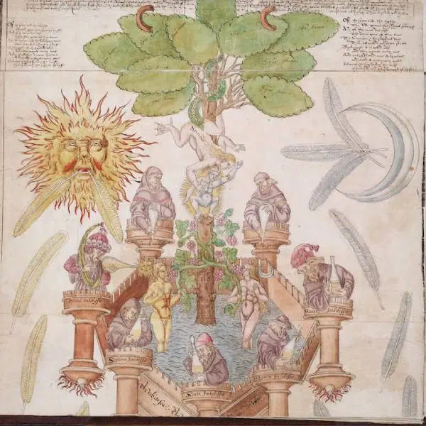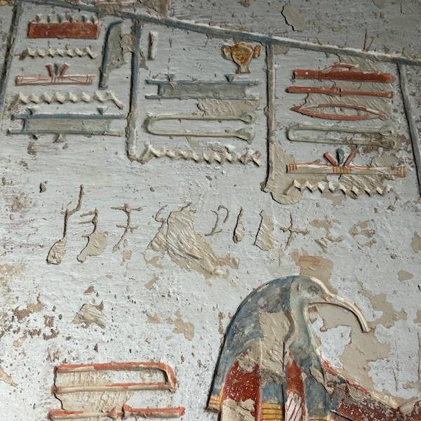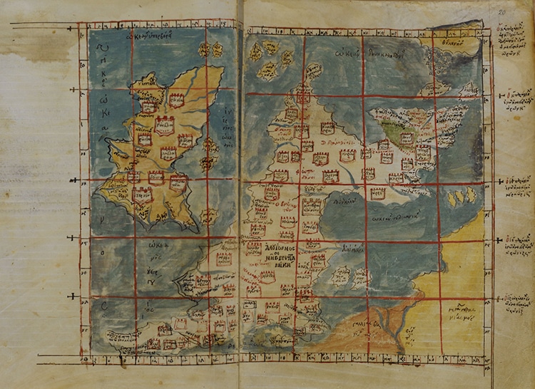
What do you know about the history of mapmaking? Cartography is an ancient tradition that has evolved from abstract to highly precise depictions that come from complex scientific readings and satellite images. It takes skill and patience to create a map, but even the best efforts are not free from bias. Maps have long reflected world-views, literally and figuratively. For anyone who is curious about the history of mankind making and using maps, the incredible five-volume The History of Cartography is now available for free online from the University of Chicago Press. Browse the downloadable PDFs full of fascinating information and imagery from ancient days to modern times.
The editors of the five volumes—J. B. Harley, David Woodward, Matthew H. Edney, Mary Sponberg Pedley, and Mark Monmonier—took on a massive task. Each volume covers a different period of map history. Volume One features ancient and medieval cartography in Europe. Volume Two covers much of historic Asian and African traditions. Volume Three is absorbed in Renaissance Europe. Volume Four addresses the Enlightenment. Volume Six (not Five) skips ahead to the massive technical advances of the 20th century. Other than the 19th century, the entire history of mapmaking is at your fingertips.
Maps have evolved, from ancient etchings to figural T and O maps, to modern elevation charts. These volumes attempt to document these incredible developments. “It is trying to define a new set of relationships between maps and the physical world that involve more than geometric correspondence. It is in essence a new map of human attempts to chart the world,” according to Edward Rothstein of The New York Times. This “important scholarly enterprise” is now available online, spreading scholarship on all the ways humans have learned to see the world.
Five volumes of The History of Cartography are now available online.
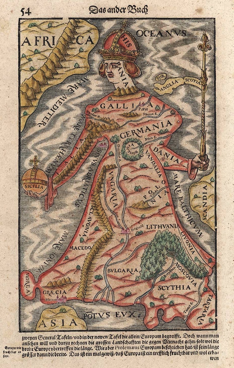
These volumes cover the developments of cartography—from ancient maps to satellite maps.
h/t: [Open Culture]
Related Articles:
Art History: Ancient Practice of Textile Art and How It Continues to Reinvent Itself
Sister Duo Weaves Textured Wall Hangings Inspired by Australian Landscapes
How to Crochet: Learn the Basics of This Time Honored Handicraft
Artist Fills Forest with Life-Size Sculptures Made from Woven Rods of Willow