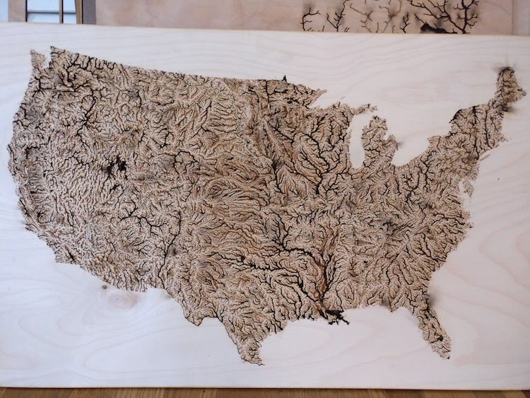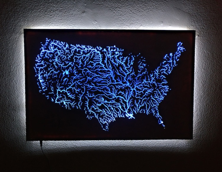
An intracoastal waterway map is an unintended work of art. Its complex network of canals, rivers, and protected waters comprise a vein-like design that offers a unique way to view the United States. Inspired by this Earth art, Instructables user AlexT9 got the idea to create his own DIY map of the waterways that are illuminated with brilliant blue resin.
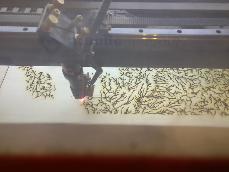
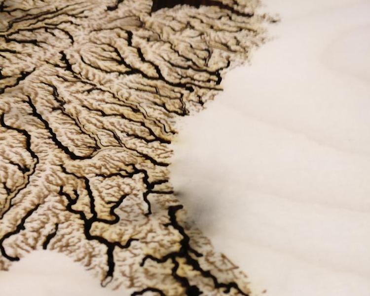
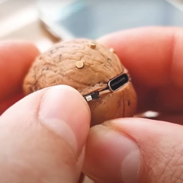
The multi-part project combined several types of crafts. One of the first steps had AlexT9 illustrating the waterways. “This part probably took 8 hours in total,” he wrote, and it involved him creating a vector file that the laser cutter followed and etched into plywood. Due to scale, some of the smaller rivers were only “fractions of a millimeter wide.” He later explained, “Lots of planning went into making sure that the cut regions wouldn't cause sections to break off.” After experimenting with different techniques, the final product was done in about two hours.
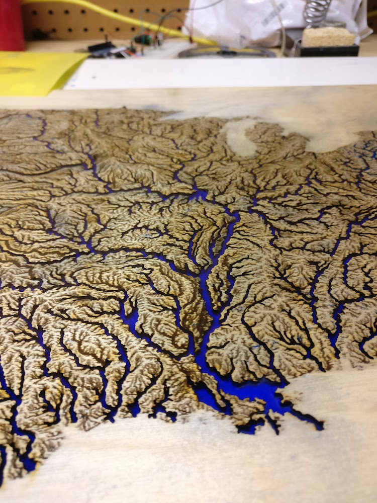
Once the map was etched, it was time to use epoxy resin to bring the waterways to life. AlexT9 applied a coat of vaseline to the board, which later helped release the excess resin from the surface. This step required two separate pours of the material, as the first leaked through the bottom of the map and left some rivers half full.
With the resin dry, the most challenging parts of the DIY map were done. All that was left were the finishing touches which included: covering the map in a clear coat of resin; building a frame; and installing the LED lighting. The result is a unique homage to the feather-like passageways (also called “highways for boats”) throughout the country.
An intracoastal waterway map is like a work of art with beautiful, feather-like pattern.
An artisan known as AlexT9 recently created a DIY map that illuminates the waterways using blue resin.
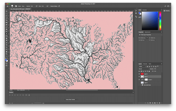
To begin, he created an outline of the waterways. After much trial and error, they were sent to a laser etcher and cutter.